Ground Water Information Center Applications
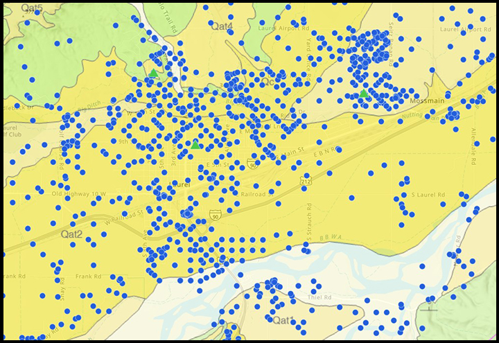
Click the image to use the MBMG's new online web mapping application. Currently displayed are statewide monitoring network wells, GWIC wells, and 1:500K geologic maps.
Enter your User Id and Proposed Data Use. Click Sign In to access GWIC's online services.
If you do not have a User Id, click create one here.
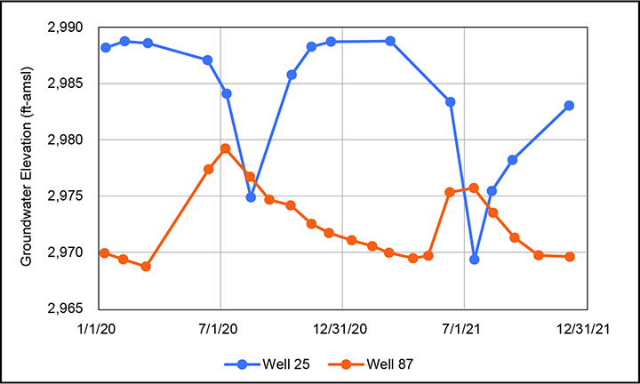
GWIC features current hydrographs for wells that are being measured regularly by the MBMG and our cooperators.
View data collected by the Statewide Monitoring Program. Data
from other MBMG projects are available through the SWL
Menu after you sign in.
View a list of
statewide monitoring network wells. The listing is by number
of wells per county.
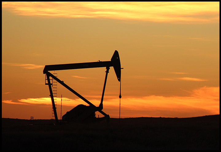
To address requests from citizens concerned with increased development and new development
practices, the MBMG collaborated with the Montana Department of Natural Resources and
Conservation (DNRC) and the Montana Department of Environmental Quality (DEQ) to
characterize groundwater quality near current oil and gas development.
Analyses included a wide range
of organic constituents, isotopes of carbon and hydrogen of methane, and the standard
inorganic analysis. GWIC also houses the results of sampling by the Montana Salinity Control
Association (MSCA), who worked with the DNRC to collect domestic-well samples from concerned
landowners.
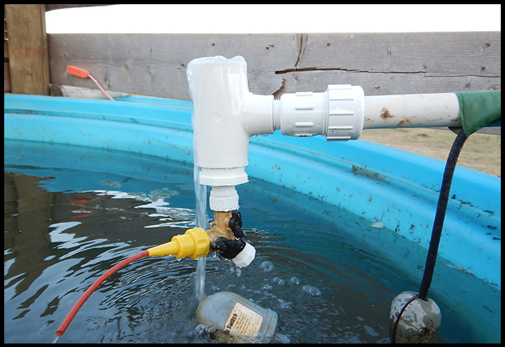
The MBMG operates the Montana Powder River Regional Coalbed Methane Groundwater Monitoring Network of springs and
wells. Data for this program plus site-specific research such as coalbed methane infiltration pond studies can be viewed online or downloaded from GWIC.
Access the MBMG coalbed methane data.


